Visual Gallery
A collection of historical photographs, cartography, and testimonies preserving the landscape of Saqiya.
Photographs & Documents
Visual evidence of life in Saqiya and the contemporary traces that remain.
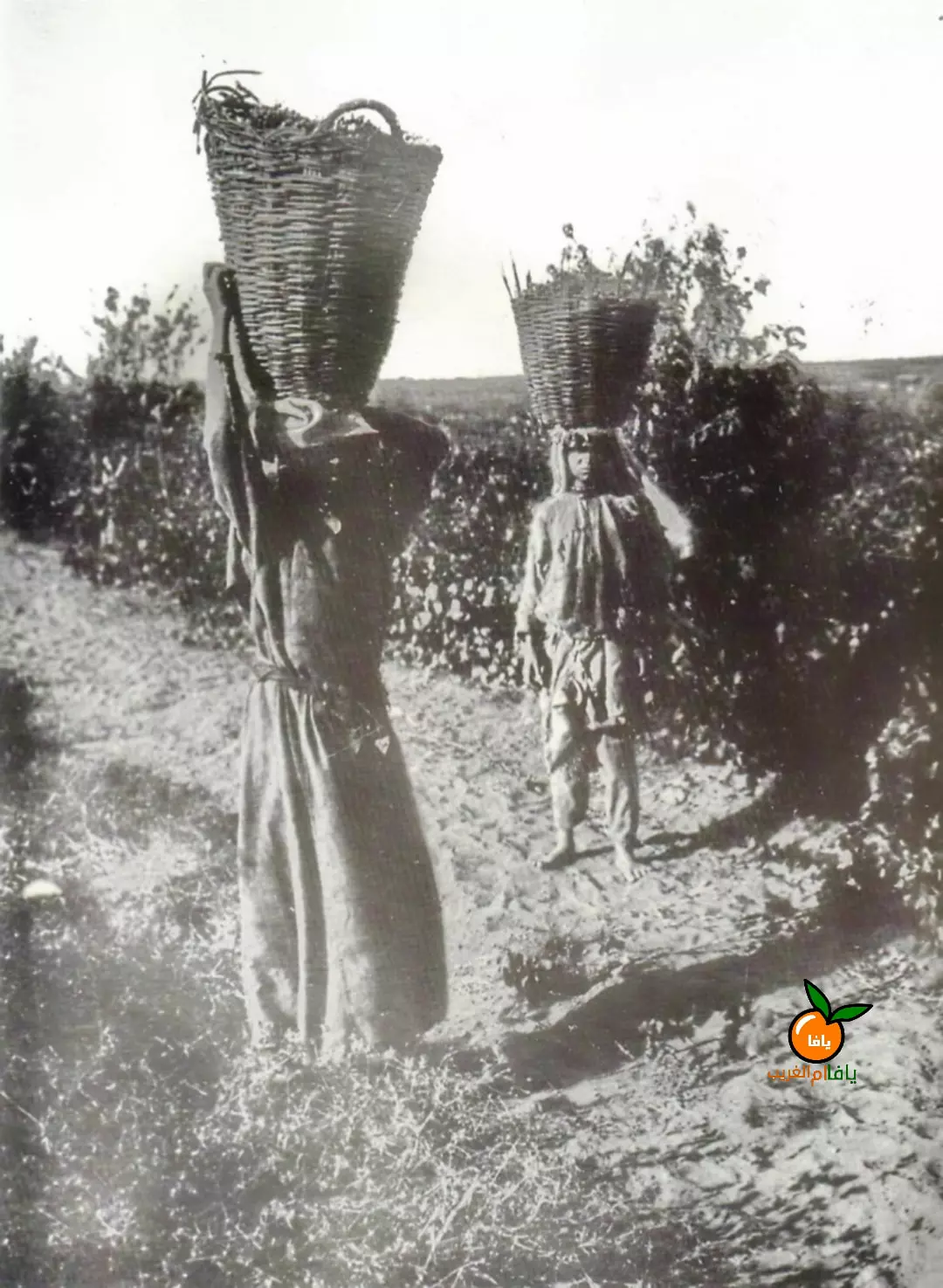
Palestinian women from Saqiya carrying baskets of grapes, 1922.
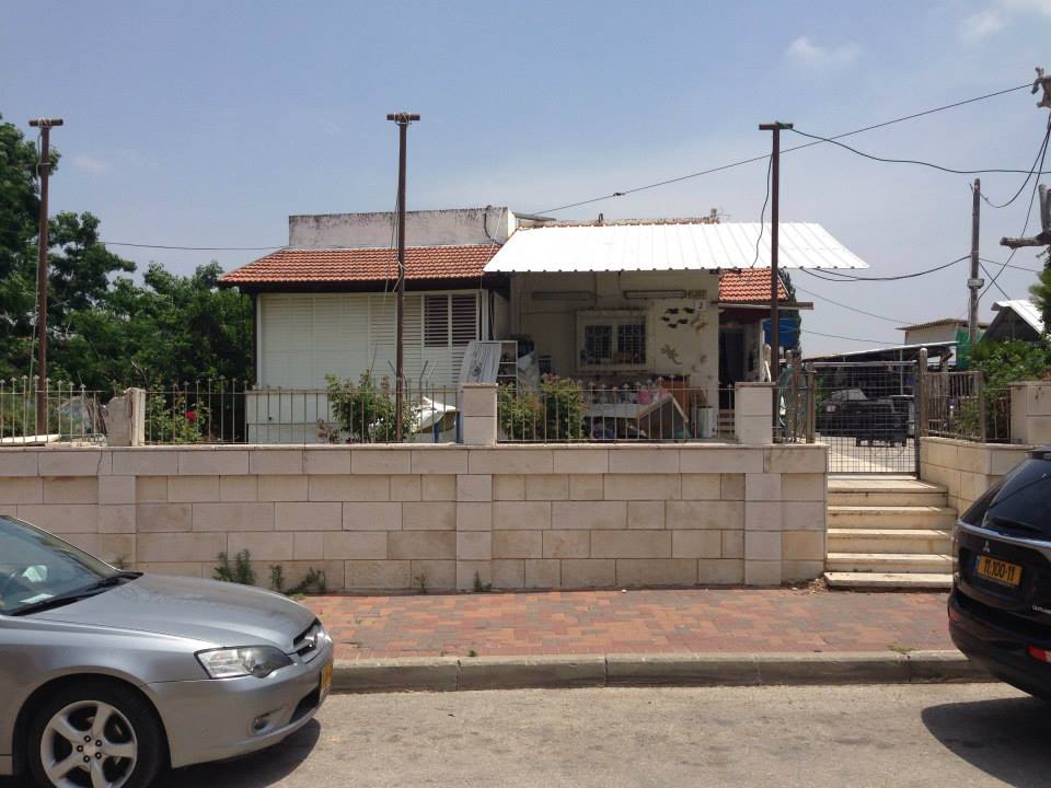
Surviving stone house in Saqiya (modern-day Or Yehuda).
Wide lancet arches on a surviving two-storey house.
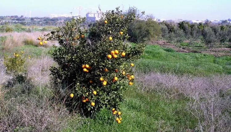
A remaining orange tree on the site of the former village orchards.
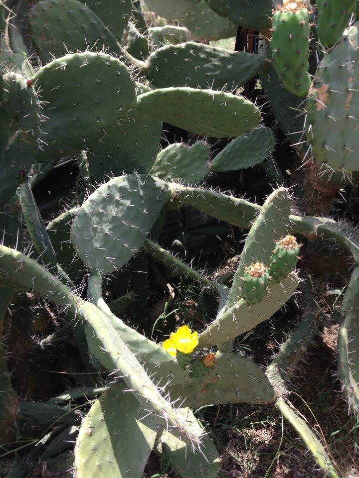
Village cactus (Sabbar) growing among the ruins and courtyard remains.
Historical Maps
Detailed cartography showing the spatial layout and land use of the village.
Survey of Palestine - 1:20,000 scale map, Sheet 13-15 (Beit Dajan), 1942.
Historical map from 1880 showing Saqiya in the Jaffa district.
Video Archives & Oral History
Direct testimonies and visual references to the village's unique technology.
Testimony of Kamil al-Nadi (Part 1)
Kamil al-Nadi (born 1929) discusses village life and the Saqiya water system.
Testimony of Kamil al-Nadi (Part 2)
Continuation of the primary source interview regarding the events of 1948.
The 'Saqiya' Mechanism
A demonstration of the animal-powered Persian Wheel that gave the village its name.
Traditional Persian Wheel Operation
Visual reference for the hydraulic infrastructure central to Saqiya's economy.